Sovereign Airspace Management: How Containerized Drone Systems Handle Deconfliction Without a Tower
 D. Marsh
No tower. No radar contact. No flight plan filed with anyone. That's the operating environment for most forward-deployed containerized drone systems, and it raises a question that doesn't get enough direct attention: when you've got multiple autonomous platforms operating out of a single container, or worse, multiple containers operating in the same geographic area, who's managing the airspace?
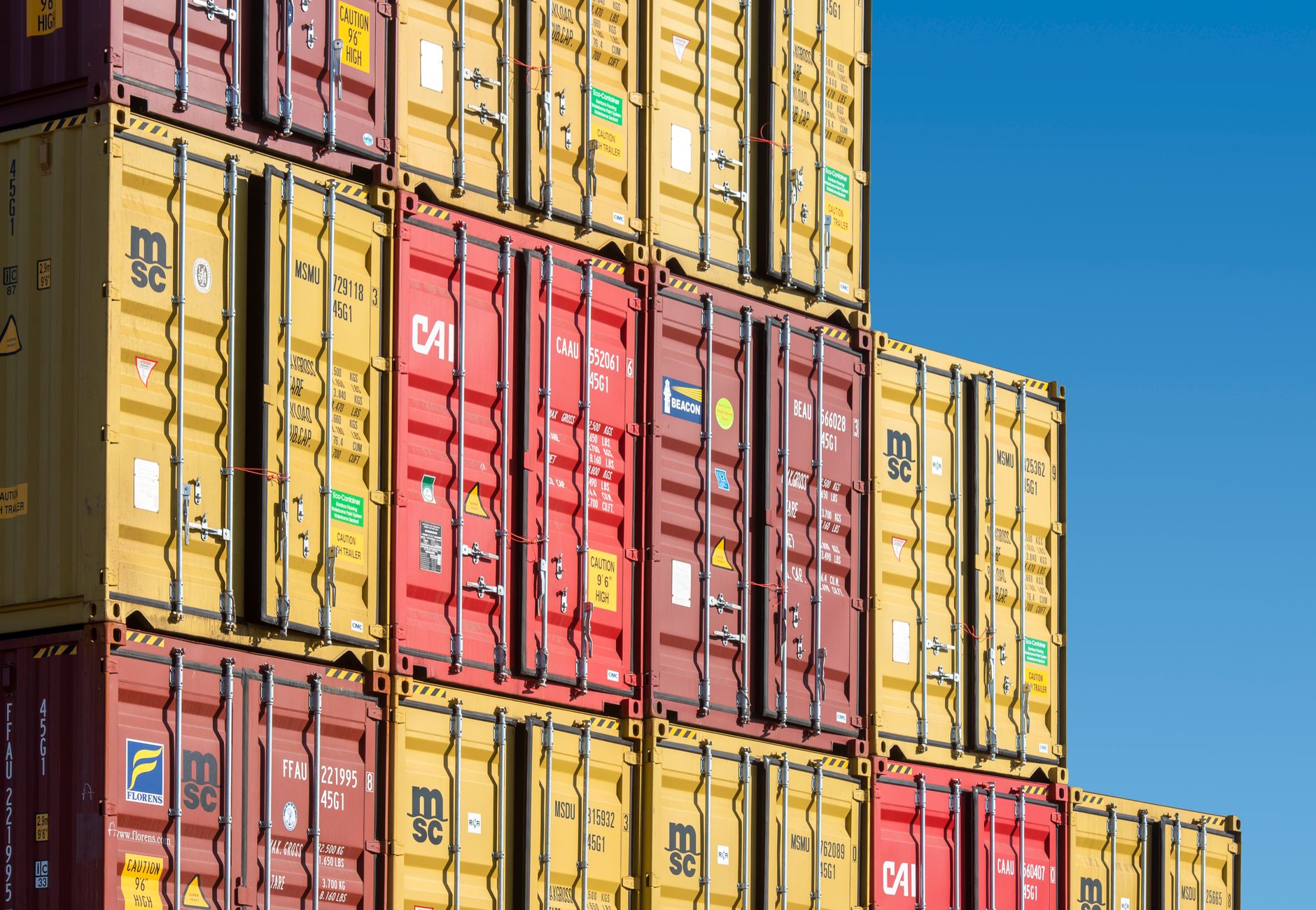 Photo by Jan van der Wolf on Pexels.
The short answer is: the system is. The longer answer is worth understanding before you field anything.
The Problem With Unmanaged Concurrent Operations
Containerized drone systems are designed to operate with minimal human oversight. That's the entire value proposition. But that autonomy creates a specific hazard when more than one system is active in the same airspace block. Two platforms pursuing overlapping waypoint routes at similar altitudes is an avoidable failure mode. So is a returning drone from one container descending through the climb-out corridor of a drone launching from a second container 400 meters away.
In a traditional aviation environment, a controller prevents this. In a permissive civilian environment, separation standards and transponders handle it. Neither of those exists at a forward operating position in a denied or degraded environment.
Something has to fill that gap.
Onboard Deconfliction: The First Layer
Well-designed containerized systems don't wait for an external authority to sort out airspace conflicts. They handle separation at the mission planning stage, and they maintain it dynamically during flight.
Mission planning software generates 4D trajectories: latitude, longitude, altitude, and time. When multiple missions are scheduled from the same container, the planner checks each route against the others before any motor spins. Separation buffers are enforced automatically, and missions are time-offset if conflicts exist. This is table-stakes for any serious system.
Dynamic deconfliction handles what planning can't predict. Platforms broadcast their position, velocity vector, and intended trajectory over a local mesh network (typically a low-power datalink running on a separate frequency from the command link). Each aircraft ingests the feeds from others in the swarm and adjusts its own path to maintain separation. No human approves the adjustment. The geometry resolves itself.
graph TD
    A[Mission Planning Layer] --> B{Conflict Check}
    B -->|Clear| C[Route Approved]
    B -->|Conflict| D[Time-Offset or Reroute]
    C --> E[Airborne: Mesh Broadcast]
    D --> E
    E --> F{Live Deconfliction}
    F -->|Separation OK| G[Continue Mission]
    F -->|Conflict Detected| H[Autonomous Avoidance Maneuver]
Multi-Container Coordination
Single-container deconfliction is solved. Multi-container coordination is where most programs still have gaps.
When two containerized systems are operated by different units, or even different operators within the same unit, they may not be sharing a common operational picture at the flight management level. Each container knows what its own aircraft are doing. Neither knows what the other's aircraft are doing unless someone builds that bridge deliberately.
The approach that works: designate one container system as the airspace coordinator for a defined geographic volume and altitude band. All other active containers in that volume register their outbound and inbound trajectories with the coordinating system before launch. Conflicts are deconflicted at the coordination layer. The human operator gets a simple go/no-go at the mission approval step, not a screen full of trajectory geometry to parse under time pressure.
This doesn't require a dedicated operator sitting at a deconfliction console. The coordination is software-to-software, with a single human touchpoint. The operator at each container knows whether their launch window is clear. That's it.
Altitude Band Discipline
One underrated tool: rigid altitude band allocation by mission type. ISR orbits run at a designated altitude band. Transit routes climb and descend on defined corridors. Recovery approaches use a specific glide path geometry that other aircraft are prohibited from crossing during the recovery window.
This sounds simple because it is. Simple rules that are machine-enforced are more reliable than complex rules that depend on human monitoring. Allocate bands, enforce them in software, and most geometric conflicts never develop in the first place.
What This Means for Procurement
If you're evaluating containerized drone systems and airspace deconfliction isn't a line item in the capability demonstration, push on it. Ask specifically how the system handles concurrent launches from the same container. Ask how it coordinates with a second container operating in the same area. Ask what happens when the mesh link degrades and aircraft can't hear each other.
Systems that handle these scenarios cleanly have done the engineering work. Systems that give vague answers about "operator awareness" and "procedural deconfliction" are pushing the problem back onto the human, which defeats the purpose of autonomous operation.
The airspace above a forward position is a shared resource. Managing it well is what separates a mature containerized system from a collection of drones that happen to live in a box.
Get Drone in a Package in your inbox
New posts delivered directly. No spam.
No spam. Unsubscribe anytime.