Urban Canyon Operations: How Containerized Drone Systems Solve the GPS-Denied Deployment Problem
 D. Marsh
GPS denial in dense urban terrain isn't a theoretical problem. Tall buildings reflect and absorb satellite signals, creating multipath errors that can throw a drone's position estimate off by tens of meters. Narrow streets act as RF canyons. And in contested environments, jamming fills whatever gaps the buildings leave. For most drone programs, this is where the capability story ends.
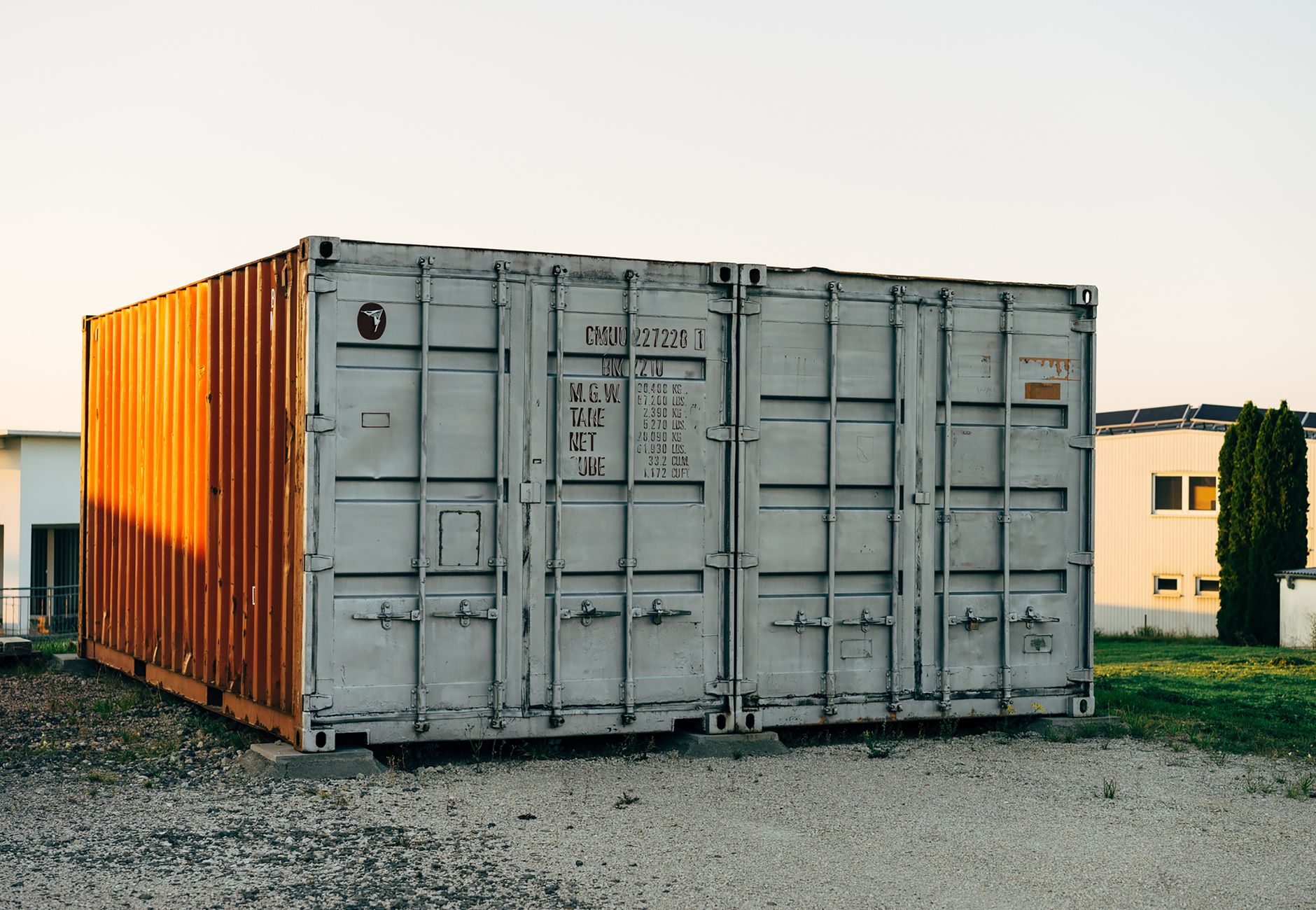 Photo by Markus Winkler on Pexels.
Containerized drone systems designed for urban operations take a different approach entirely.
Rather than relying on a single navigation source, purpose-built urban containers integrate layered positioning from the ground up. Visual-inertial odometry runs continuously, using onboard cameras and an IMU to track position relative to the last known fix. LiDAR-based simultaneous localization and mapping (SLAM) builds a real-time 3D model of the surrounding environment and uses that model to anchor navigation when satellite signals drop. Some platforms add ultra-wideband (UWB) ranging beacons that operators can deploy ahead of the drone, providing local reference geometry with centimeter-level accuracy out to 300 meters.
None of this requires a GPS lock. The container ships with the full sensor stack already calibrated and integrated.
Why does the container form factor matter here specifically? Because urban ISR missions have a logistics profile that fly-away kits can't support cleanly. You need rapid repositioning between blocks, protected storage for fragile sensor payloads, a controlled environment for battery cycling in variable ambient temperatures, and a defended launch point that doesn't require a cleared pad. A hardened 20-foot container handles all of that. It parks at the urban perimeter, operates autonomously through narrow sortie windows, and retracts the drone between flights without exposing the crew.
Consider the sensor integration question more carefully. Visual-inertial odometry works well in daylight with sufficient texture in the environment. It degrades in featureless corridors, at night, or in smoke. LiDAR SLAM is more robust, but compute-intensive and sensitive to rain and dense particulate. Neither alone is adequate. The container's edge computing node runs sensor fusion continuously, weighting each navigation input based on real-time confidence scores and switching the primary source without operator intervention.
Here's a simplified view of how that navigation handoff works during a typical urban sortie:
graph TD
    A[Launch from Container] --> B{GPS Available?}
    B -- Yes --> C[GPS + IMU Fusion]
    B -- No --> D[Visual-Inertial Odometry]
    C --> E{Signal Quality Check}
    D --> E
    E -- Degraded --> F[LiDAR SLAM Primary]
    E -- Acceptable --> G[Continue Mission]
    F --> G
    G --> H[Return and Recover]
The handoffs happen in milliseconds. From the operator's perspective, the drone flies its route. The navigation layer underneath is continuously arbitrating between sources, but that complexity stays inside the container's processing stack.
There's a tactical reality worth naming here: urban environments are where contested ISR demand is highest and where conventional drone programs struggle most. Fixed-wing platforms can't loiter in the gaps between buildings. Quadrotors with portable GCS setups require operators exposed at the launch point. Tethered systems cover a limited radius and advertise their position with the tether itself.
A containerized system parked in a hardened position two blocks from the objective area changes that calculus. Sorties can be pre-programmed and queued. The container handles autonomous launch, navigation, and recovery. The operator interface can run from a forward position or remotely over an encrypted link, depending on what the tactical situation allows.
Urban SLAM also generates a byproduct that has real intelligence value: the 3D map itself. Each sortie refines the building-level geometry of the operating area. Over multiple flights, the system accumulates a detailed environmental model that can support route planning, breach point analysis, and second-order ISR tasking. That data lives in the container, exportable to C2 systems through standard formats.
Temperature management in urban containers deserves a mention too. Dense urban terrain creates heat island effects that push ambient temperatures well above surrounding rural areas. Container thermal management systems designed for desert operations transfer directly; the same active cooling that handles 45-degree desert heat handles urban rooftop deployments in summer.
The GPS-denied problem in urban terrain is solvable. The solution requires sensor redundancy, edge compute, and a protected platform that can operate without constant operator input. Containerized systems deliver all three in a package that moves with the force and deploys without a site survey.
That's the requirement. The container is the answer.
Get Drone in a Package in your inbox
New posts delivered directly. No spam.
No spam. Unsubscribe anytime.